
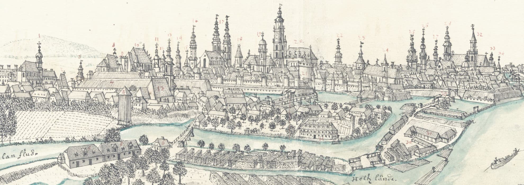
Szczegóły obiektu: General-Karte von den in der Herrschaft Camenz : gelegenen herrschaftlichen Forsten, Aeckern, Wiesen und Hutungen
IIP
Opis
- PLMET: http://confluence.man.poznan.pl/community/display/FBCMETGUIDE
- Tytuł:
- Twórca:
- Temat i słowa kluczowe: ; ; ; ; ;; ; ; ; ;
- Opis: ; ; ; ; ;; ; ; ;
- Miejsce wydania: ;
- Technika wykonania: ;
- Data utworzenia:
- Typ zasobu: ;
- Szczegółowy typ zasobu: ;
- Rozmiar:
- Nośnik: ;
- Identyfikator:
oai:bibliotekacyfrowa.pl:131025 - Źródło:
- Język:
- Katalog BUWr: https://katalog.bu.uni.wroc.pl/lib/item?id=chamo:394574
- Katalog GAIKK: https://gaikk.bu.uni.wroc.pl/maps/13244
- Zakres przestrzenny: https://sws.geonames.org/3096795/ ;
- Zakres czasowy:
- Prawa dostępu: ;
- Licencja: https://creativecommons.org/publicdomain/mark/1.0/deed.en ; ;; https://creativecommons.org/publicdomain/mark/1.0/deed.pl
- Lokalizacja oryginału:
- Autor opisu:


